
Hurricane Harvey made landfall in eastern Texas last Friday, wreaking havoc and killing at least 41 people. But on Thursday, the skies finally began to clear, allowing people to start making sense of what happened and giving satellites the chance to take photos of what the state looks like now.
Here are images from DigitalGlobe, a company that provides satellite images to the US government and others, that show Texas before and after the storm.
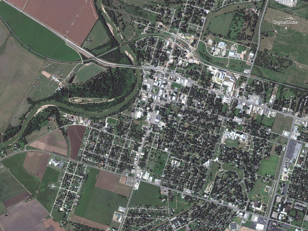
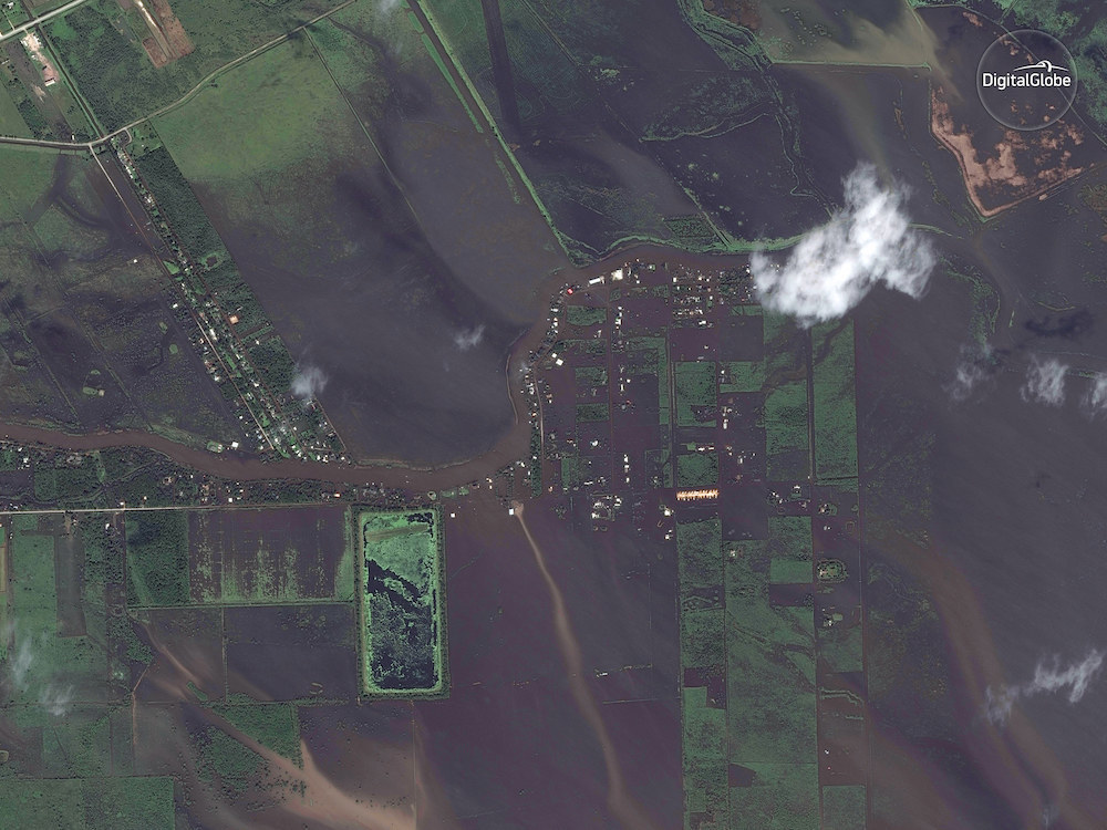
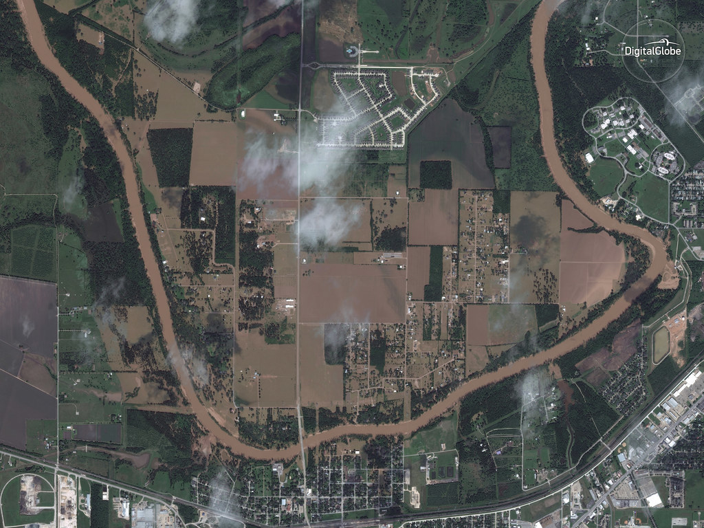
Wharton
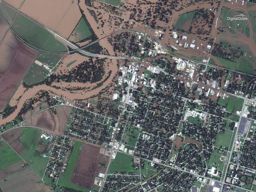
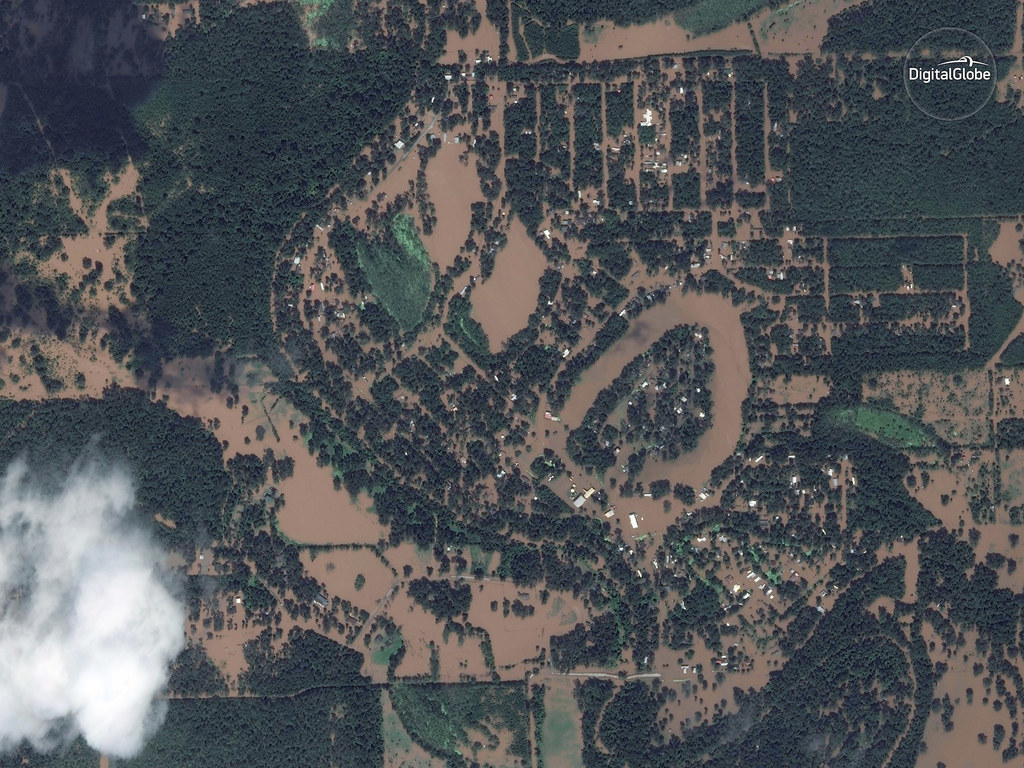
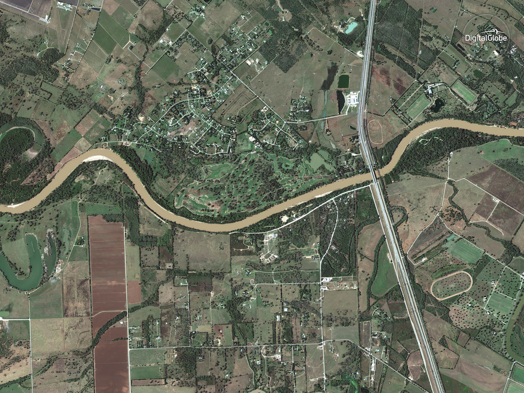
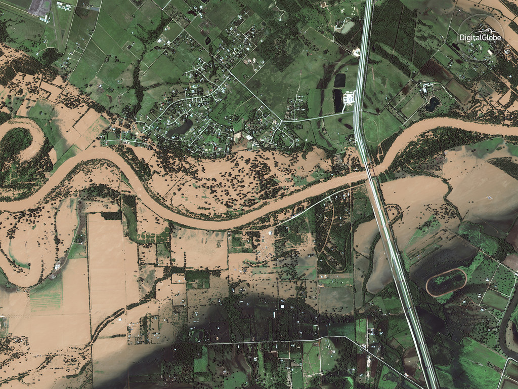
Wharton again, but a closer view

Angleton
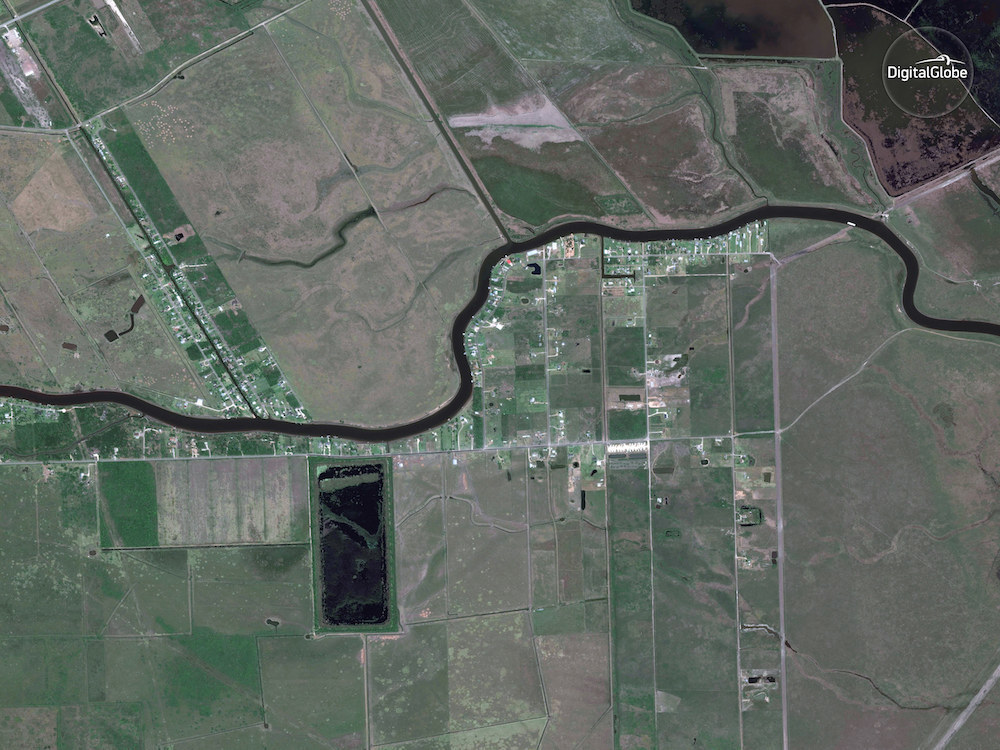
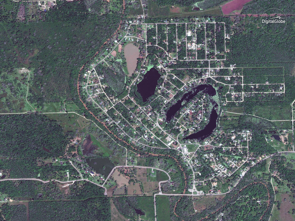
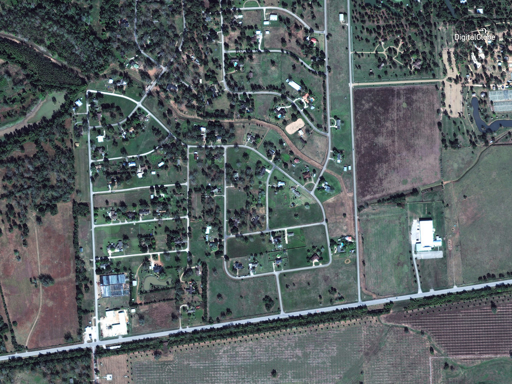
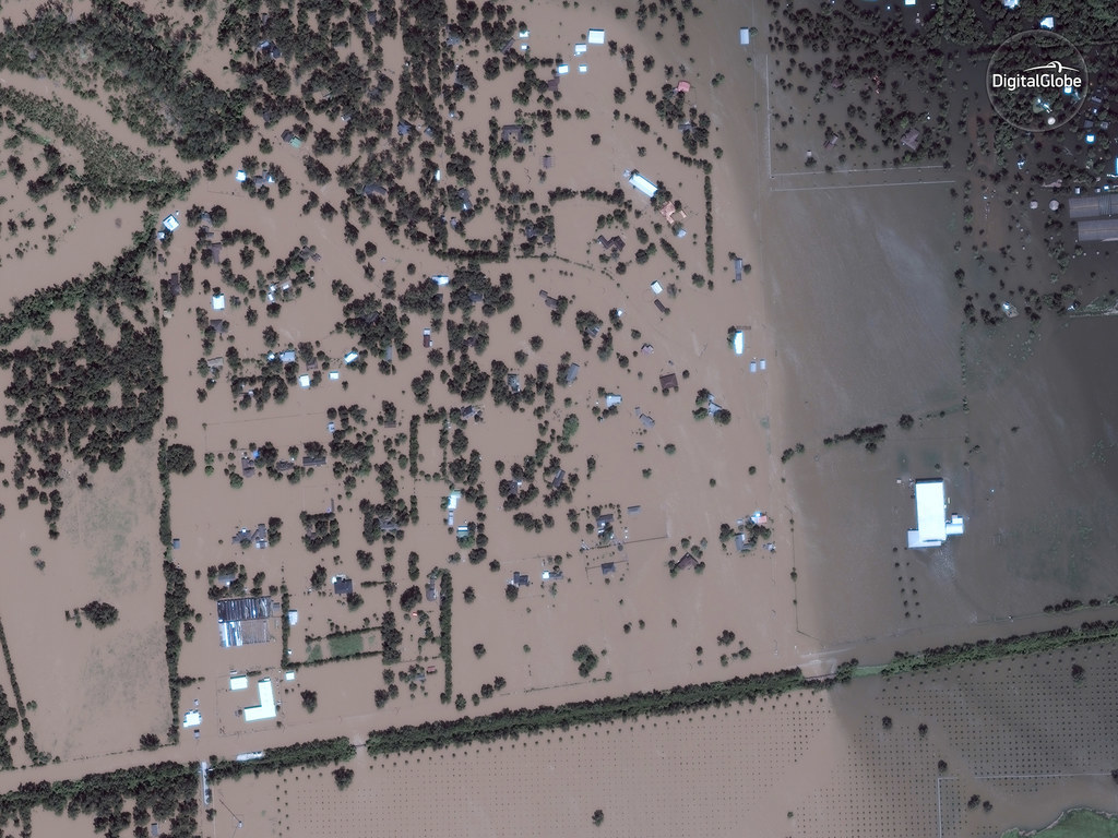
Holiday Lakes
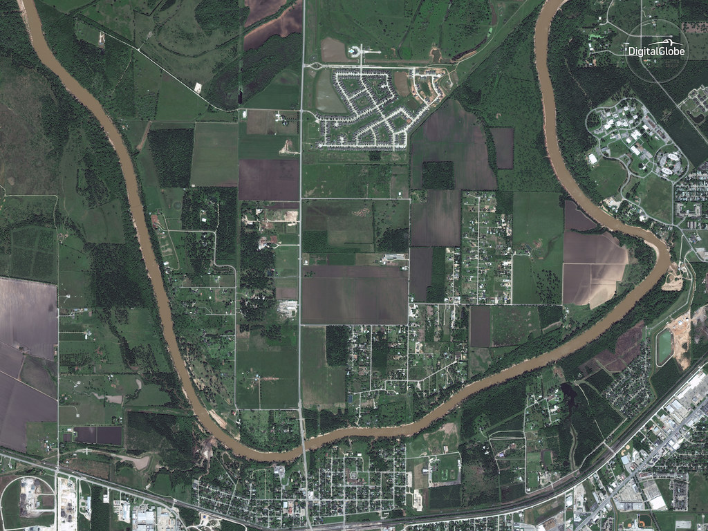
Rosenberg
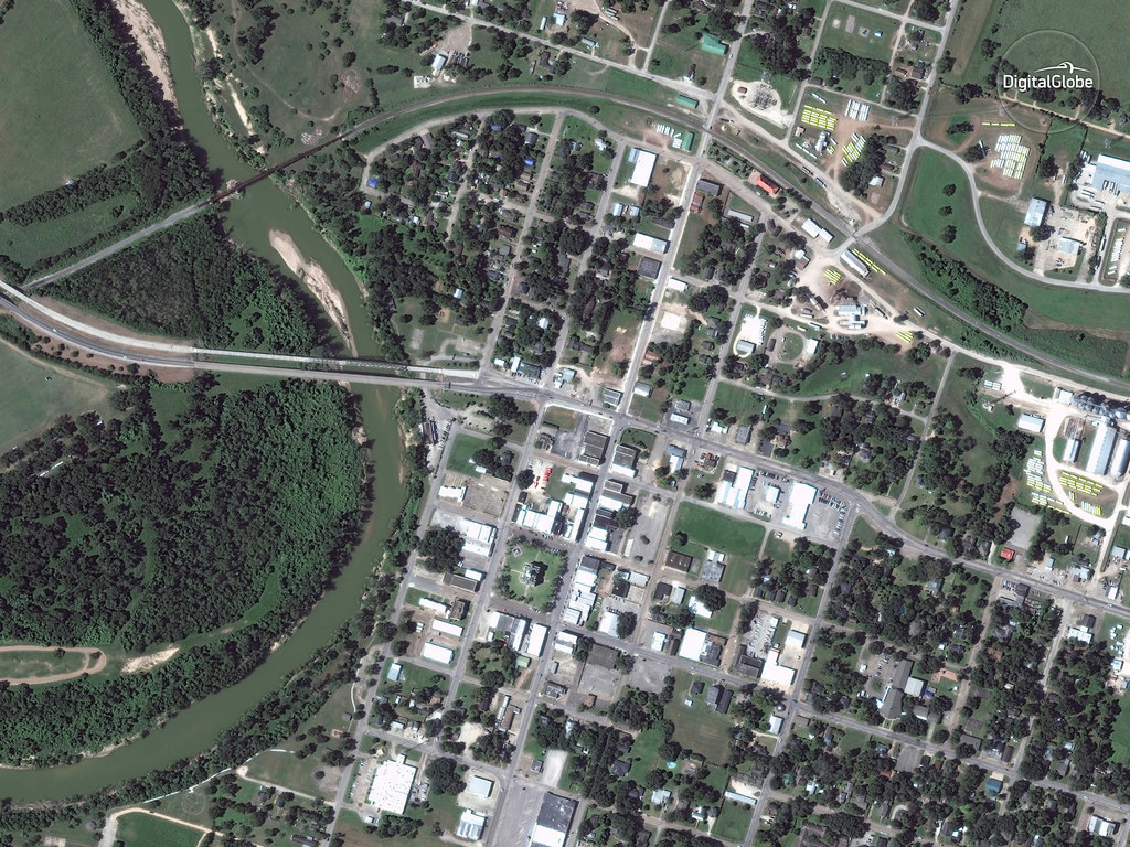
Brookshire
Simonton
If you've been impacted by the storm in Texas or have a tip about rescue, relief, government, or aid efforts, call the BuzzFeed News tipline at (646) 589-8598. Find us on Signal, email, SecureDrop, and more here.