
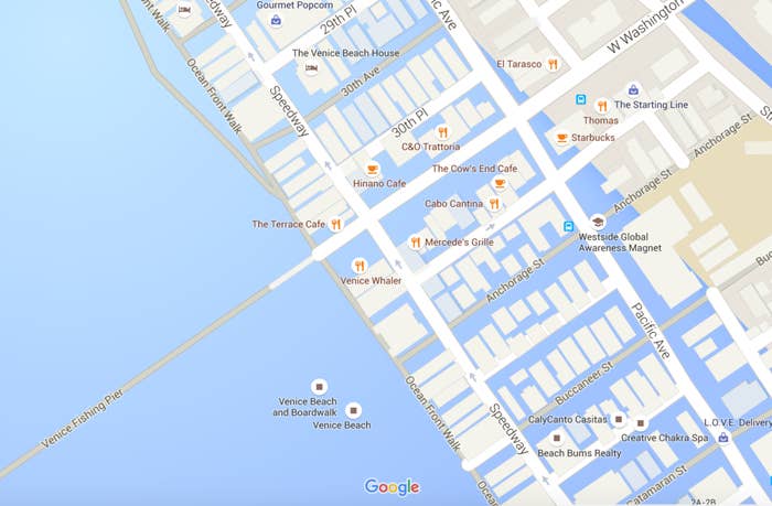
On Friday afternoon, Google Maps users began noticing that parts of coastal Southern California were appearing underwater. Newsweek and Mic reported that Google was showing what rising sea levels could look like in the near future.
That is not the case. Google is not projecting climate change data in Maps, the company told BuzzFeed News. It simply experienced a glitch mapping parts of California today, showing water where it isn't.

Malibu got hit pretty hard.
According to a statement Google Maps spokesperson Mara Harris provided BuzzFeed News, the service's "basemap data — things like ocean, road networks, and place names comes from a combination of third-party providers, public sources, and user contributions. Overall, this provides a very comprehensive and up-to-date map, but there are occasional inaccuracies that arise from any of those sources."
Essentially, Google made a mistake, not a political statement.