Designer Jeff Ferzoco, with support from the NYU Rudin Center for Transportation, is creating an interactive map that attempts to visualize the evolution of gay bars and nightclubs in New York City.

The final goal? To map out the city's gay nightlife as far back (and as completely) as possible.
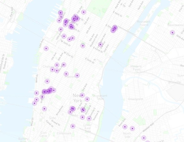
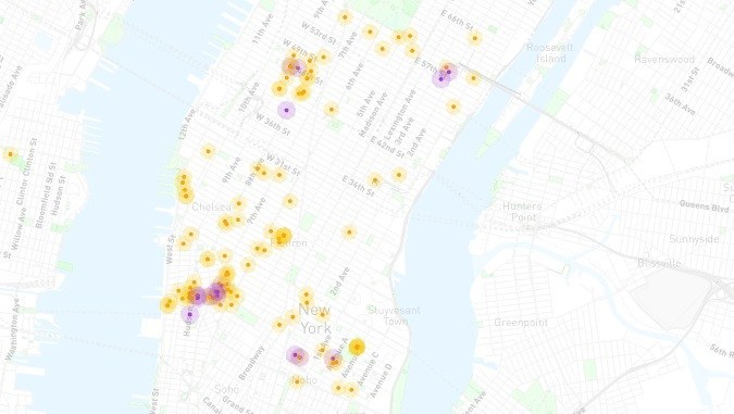
Here you can see the changes from 1960 to 2015:
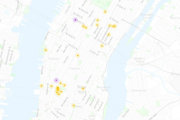
The purple dots represent a currently operating bar while the orange represent historic establishments.
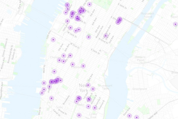
The purple dots represent a currently operating bar while the orange represent historic establishments.
The purple dots represent a currently operating bar while the orange represent historic establishments.
"From historic records, we’ve gathered nighttime spots – bars, clubs, bathhouses, coffee houses, cruising areas, late-night diners, etc – from 1890 to 2015. It is nowhere near complete," says the team behind the huge endeavor.


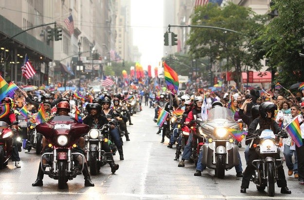
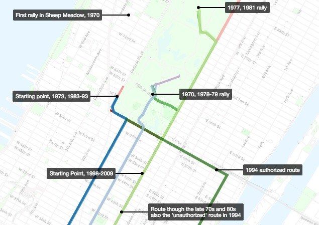
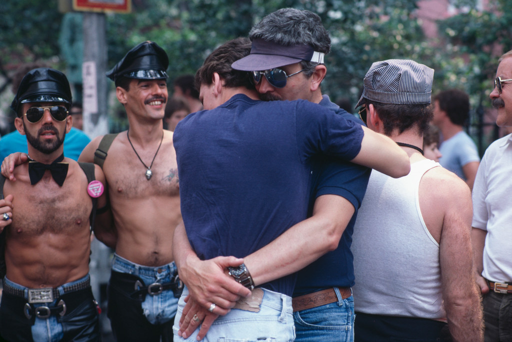
A sister project maps out the changing route of the New York City Pride Parade:
According to Sarah Kaufman, Assistant Director for Tech. Programs at NYU's Rudin Center, the map was developed by pulling data from historical books, old nightlife guidebooks, as well as anecdotes and verified crowdsourcing.
Here's 1950:

'We're also working to develop the map for San Francisco and other cities, eventually," she said.
And here's 1980:

With money raised through a GoFundMe page, the plan is to eventually include images and personal stories to go along with the historical locations.
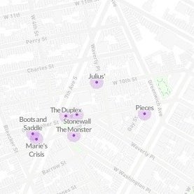
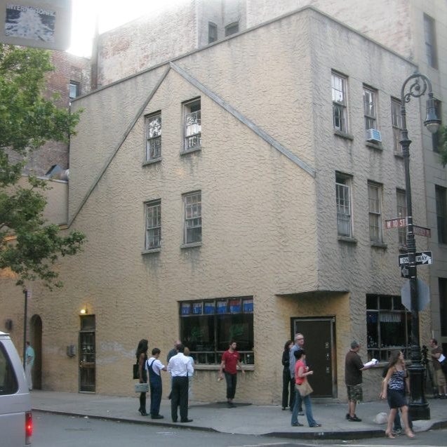
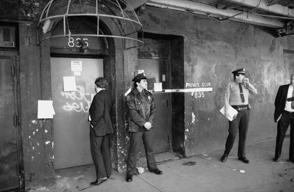
You can see Julias', the city's oldest and most historic gay bar, on the current 2015 map: